Well and lease activity
Review known wells, lease references, API numbers, fields, operators, and nearby activity context from organized public records.
FutureWells Texas organizes public Texas oil and gas records into searchable maps, county pages, operator views, lease/well activity, and early signals for future wells.
Use the platform to get oriented faster, identify useful records, and decide what deserves official-source review.
Review known wells, lease references, API numbers, fields, operators, and nearby activity context from organized public records.
Use permit and document-derived activity as a starting point for finding possible future well activity.
Search by county, county FIPS, abstract, block, section, survey, lease, operator, or rough field-note text.
Surface W-2 and G-1 completion report filings as readable activity events tied back to well and source-document context.
Spot P-4 operator-change filings so lease and well activity can be reviewed when responsibility shifts.
Review plugging notices, directional surveys, and injection-related filings as nearby activity signals.
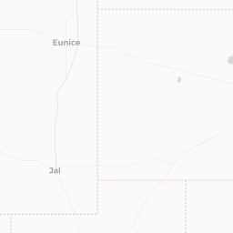
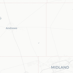
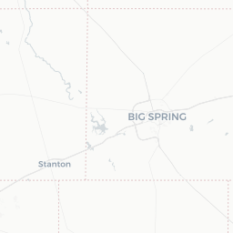
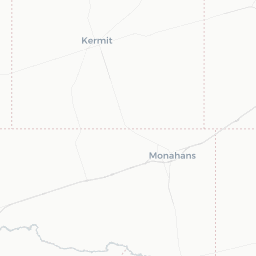
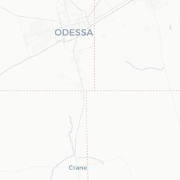
The public map page is lightweight. The full beta map supports deeper well cards, tract search, estimated areas, watch areas, and recent activity review.
Preview how FutureWells Texas approaches Texas well records, permit signals, county context, and source-aware review without loading the full beta map.
Open public map previewThe authenticated user area keeps the active map, saved watch areas, and performance-testing workflows separate from the public marketing site.
Create free beta accountFutureWells Texas is built for practical lookup workflows, not abstract dashboards or hype.
Track permit-related signals and connect them to nearby wells, documents, operators, and map context where records support it.
Move from lease names, well numbers, API identifiers, and field records into a cleaner exploration workflow.
Start with county pages and operator context, then open the beta workspace for deeper map review.
Review W-3A plugging notice events when older wells near an area need source-backed attention.
Surface injection and disposal-related filing events so nearby activity can be checked against source records.
Use production data events to spot wells that appear to have recently started producing.
FutureWells Texas organizes and visualizes public oil and gas records, including Railroad Commission of Texas materials and related public files. It is not an official government website.
Public oil and gas data may be incomplete, delayed, corrected, duplicated, stale, transformed, or interpreted incorrectly. Map points and estimated areas are not official parcel, survey, mineral, lease, title, or legal boundaries.
Use FutureWells Texas as a discovery and organization layer. Verify important facts with official sources, original documents, county records, qualified professionals, and the relevant agencies before making legal, financial, mineral-rights, engineering, drilling, tax, or investment decisions.
Start with public activity feeds or check the data coverage behind the pages.
Browse permits, completions, operator changes, plugging notices, production signals, surveys, and documents.
Open latest activityReview live table counts, source families, and the latest import history behind public pages.
Open data coverageUse these public-record paths as starting points for deeper review.
Howard County - DKL WATER GATHERING PERMIAN, LLC
Howard County - HIGHPEAK ENERGY HOLDINGS, LLC
Howard County - BIRCH OPERATIONS, INC.
The public site is ready for discovery. The full product is still being tested, especially map performance, search behavior, document workflows, watch areas, and activity signals.
No. FutureWells Texas is independent and is not affiliated with, endorsed by, or sponsored by the Texas Railroad Commission.
No. A permit can be an important signal, but it does not guarantee drilling, completion, production, economics, or timing.
No. Use FutureWells Texas for exploration only. Verify important decisions with official sources, county records, original documents, and qualified professionals.
The full interactive map, watch areas, and heavier workflows are still being tested for performance and product fit.
FutureWells Texas is currently in beta. Data coverage, search tools, and map layers are actively being expanded and verified.